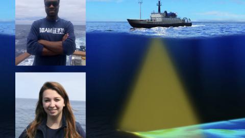
Launching our 2020 Nautilus season, this mapping expedition will extend from southern California to British Columbia to cover priority areas for future dives and to fill in gaps in bathymetry within the U.S. Exclusive Economic Zone, a vast area located 200 miles offshore that contains natural resources like fisheries and mineral resources.
Mapping will start with surveys to fill gaps in mapping data in waters north of the Channel Islands National Marine Sanctuary, a nearly 3,900-kilometer-square (1,500 square miles) area of protected waters home to large populations of commercially important fish. Nautilus has been working in this area since 2015 to map the seafloor and parts of Arguello Canyon. Arguello Canyon is being considered for the designation of the proposed Chumash Heritage National Marine Sanctuary, which would protect an abundantly rich and diverse marine ecosystem that is a nursery and home for many fish and marine mammal species. Time permitting, our scientists will map the seafloor within the boundaries of the Olympic Coast National Marine Sanctuary to expand on previous mapping conducted by our scientists and determine points of interest for future ROV dives.
This expedition is supporting the Expanding Pacific Research and Exploration of Submerged Systems (EXPRESS) cooperative research campaign, a multi-year and multi-institution effort to develop comprehensive digital elevation models, habitat maps, and geologic maps in the deep sea areas of California, Oregon, and Washington.