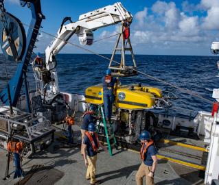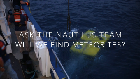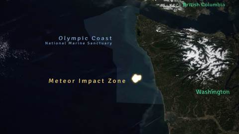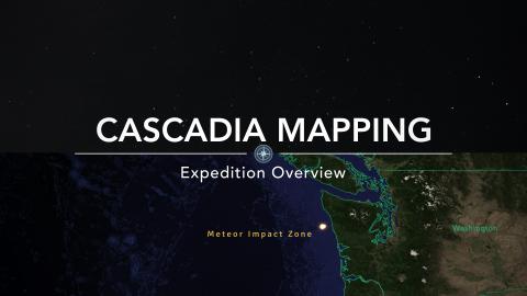
This short expedition will transit from Astoria, Oregon to Sidney, British Columbia and will include seafloor mapping with the E/V Nautilus multibeam echosounder and sub-bottom profiler. Surveys will occur along the route on an opportunity basis to fill in gaps in high resolution mapping in the Olympic Coast National Marine Sanctuary for general bathymetric data collection and seafloor characterization. While transiting north, Nautilus will also attempt to locate and recover fragments of a rare, large meteorite fall that was observed off the coast of Washington in March 2018.
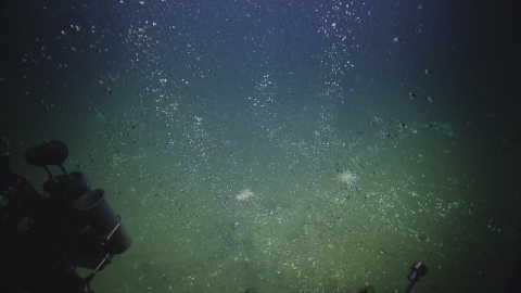
Systematic mapping of the seafloor by echosounder commenced nearly a century ago, however, more than 80% of the world’s seafloor is still not mapped, and the eastern Pacific Ocean is no exception. E/V Nautilus is equipped with a multibeam sonar and sub-bottom echosounder to collect bathymetric, surface sediment characteristic, subsurface geology and water column data. These types of seafloor mapping data are useful for identifying areas or features of interest, creating bathymetric charts for ROV dive planning and situational awareness, and locating hydrothermal vents and gas or oil seeps.
Sponsored by: NOAA Office of Exploration and Research